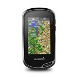
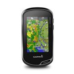
Garmin Huntview Gps Map Card, Alaska – Southeast 010-12709-00
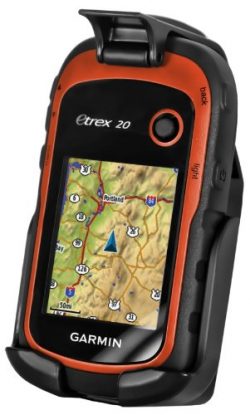
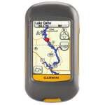
Featuring exclusive birdseye satellite imagery and 1: 24K scale topo mapping, these preloaded microSD cards offer a seamless hunting Map solution for Garmin handheld GPS devices. Map data is collected from Multiple sources, Providing full state-by-state coverage with routable road and trail data, landowner names and boundaries for public/private Land types and boundaries (blm, National wildlife refuges, National Parks, WPA, WMA), food/fuel locations and more. Included basecamp software lets you interface your computer with your handheld device to plan your hunt, transfer waypoints, and even keep a track log so you can return to the best hunting spots or share the adventure online.
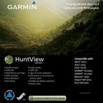
Product Features
- Easy-to-use mapping solution for hunters and outdoorsmen -plug-in Micro SD card eliminates time-consuming downloads
- Identifies landowner names and boundaries for public/private land types and boundaries, using data from multiple sources for superior coverage and detail
- Digital topography equivalent to 1: 24, 000 scale U.S. Geological Survey maps
- Shows thousands of routable roads and trails with turn-by-turn navigation
- Includes searchable points of interest: parks, summits, geographic place names, camping areas, businesses, and more