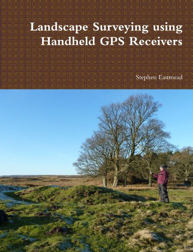
Landscape Surveying Using Handheld Gps Receivers
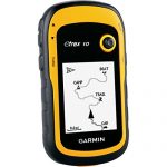
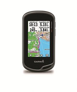
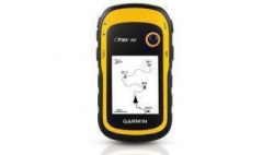
When the Swaledale and Arkengarthdale Archaeology Group (SWAAG) was formed one of the key requirements was to perform accurate landscape surveys that could be mapped to a sufficient standard for publication in archaeological reports and journals. An Internet survey of available GPS systems – GPS receivers and mapping software – only returned professional systems that were beyond the financial reach of a small amateur group like SWAAG. This treatise is a simple manual describing the methodologies developed, which can be used by individuals or groups to record and publish their data. The aim is not to be prescriptive but to offer a base for others to adapt and modify, so their surveying requirements can be met at minimal financial cost. Whilst the examples described are archaeological, the techniques can be directly applied to any landscape feature in any area of interest. The methods described are broken down into individual easy to follow steps, and richly illustrated with colour diagrams.